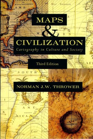
 I've been reading Norman Thrower's "Maps and Civilization" over the last several months. "Maps and Civilization" is a historical account of cartography starting in pre-historic era. For example, Thrower shares an example of "maps" which were used to navigate between Islands in the South Pacific. The maps charted the location of islands using wave patterns. Thrower continues with maps of classical antiquity - Greco-Roman examples of early cadastral and road maps, and moves through early Eastern and Asian mapping efforts. He also recounts the efforts of Islamic cartographers during the dark ages and the rediscovering of Ptolemy. We often think that mapping was invented by Western Civilazation during the Rennaisannce, but it was cartogaphers of Asia and Islamic cartogaphers of the middle ages who kept the science alive. For example, Thrower shows a map of the Chinese coast from the 12th Century (~1137 AD), which is alarmingly accurate when compared to a map of the modern Chinese coastline. Of course, most of cartography and geography owe a huge debt to the European Rennaisannce and the Enlightenment. Maps were crucial products of the explorations of the Drake's, Champlain's, Cortez's, Vespucci's, and Columbus's - in spite of all the ills cause by colonization and the Columbian exchange.
I've been trying to figure out how I could possibly incorporate Thrower's commentary on the history of mapmaking into my own research. I don't want to get too hung up on a historical materialist explanation of our current state, but I do have to regard history and the context it creates in the present to help understand the bigger picture. In this case, it seems that there are alot of reasons that mapping in the United States is so fragmented and why there are many more hurdles to "data interoperability" than folks working to integrate spatial data may realize. It seems that one of the keys for ecological and environmental planning is consistent data collected across scales. In the United States, because of the way mapping has been implemented, at least according to Thrower, it seems like data interoperatibility for geography may be a pipe dream. In other words, scaling planning efforts based on different boundaries may not be a useful endeavor simply because of the way mapping and spatial data collection in the United States has developed over time.

No comments:
Post a Comment